Known for being the highest village in Spain, for ham and for wonderful hiking routes – Trevélez, the village which I visited one year ago. Read what you can expect there.
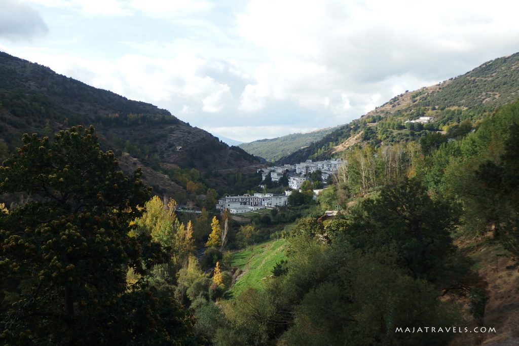
Trevélez is located in Sierra Nevada National Park at nearly 1500 m a.s.l. I came there to walk to Mulhacén, which is the highest peak of Iberian Peninsula, but before I describe my hike to this summit, I want to tell you what you can expect in Trevélez :)
Firstly – English
Don’t expect people in this village to speak English. I spent there 3 days and I didn’t meet anyone who knows at least basic English. In every restaurant and in every shop I had to struggle with Spanish. Even in the hotel, in which I was sleeping, although on booking.com it was written they speak English, they didn’t.
Fortunately I knew that in Spain it’s sometimes difficult or impossible to communicate in English, so I have learned a little Spanish. I know numbers and about 30 words and short phrases and it really helped me there.
By the way, I think in Poland it’s similar. In the most touristic places in big cities I think you can manage without speaking Polish, but if you plan to go to some smaller towns, better learn at least basic Polish.
Secondly – the ham
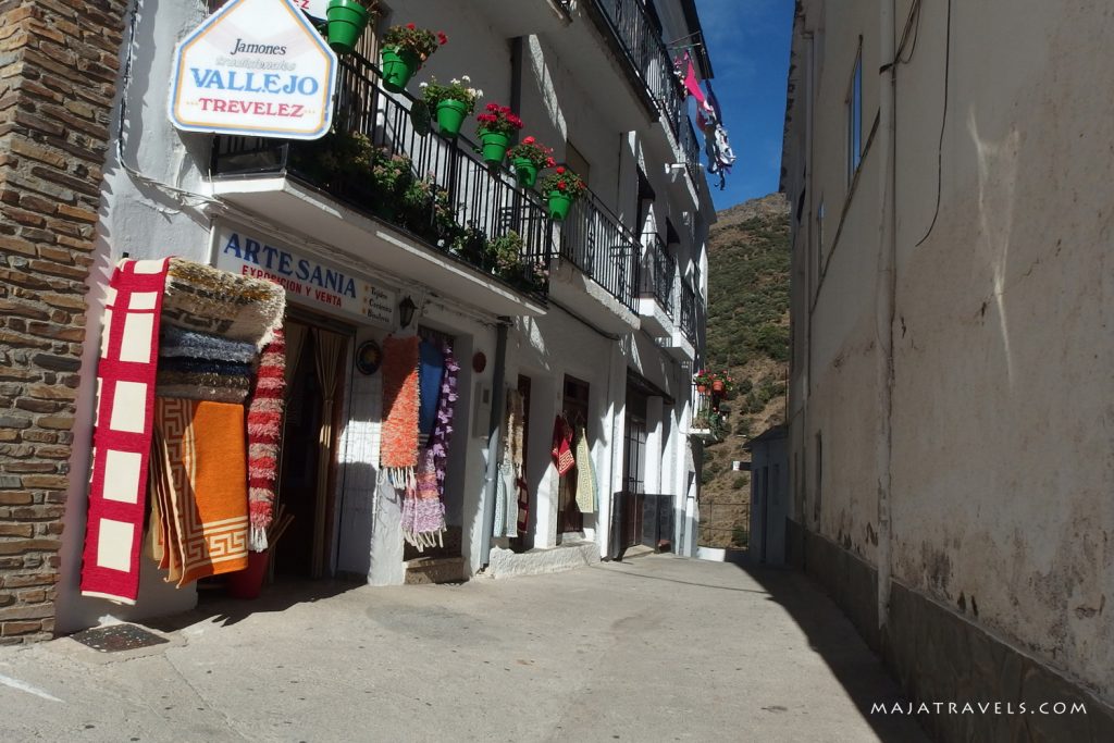
Trevélez is well-known for their traditional ham, called in Spanish Jamón de Trevélez. In every other shop you can see hanging dried legs of pigs. Of course you can find them in grocery stores but I saw them even in souvenir shop ;) I didn’t decide to buy a whole leg but I ordered in one restaurant some traditional dish made of this ham. I was a bit disappointed. I was expecting tasty dish, but in fact it was too salty and too greasy.
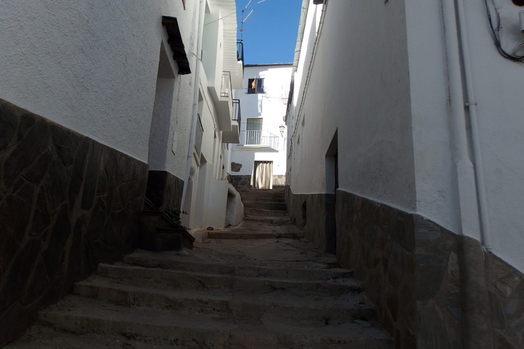
Thirdly – quiet narrow streets between white houses
I’ve read before I came there, that Trevélez is pretty touristy place. Maybe in summer it is, but in October it was empty.
There are many narrow streets like below and I saw there almost anyone.
Fourthly – hiking routes
There are many hiking routes which start in Trevélez. All of them are technically easy. Sierra Nevada is high mountain range, but summits are mild. You wouldn’t come across steep dangerous slopes like in Alps or High Tatras.
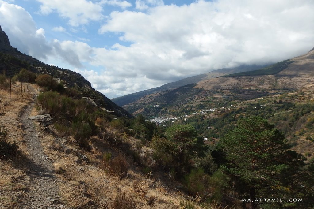
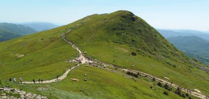
I made two round hikes in area of Trevélez. One of them was Mulhacén, as I told before, and another one – Peñabón, which you can see below:
As my map (Sierra Nevada La Alpujarra by Editorial Alpina) says, Peñabón is 2012 m a.s.l. and it’s close to Pandera de Prados Altos.
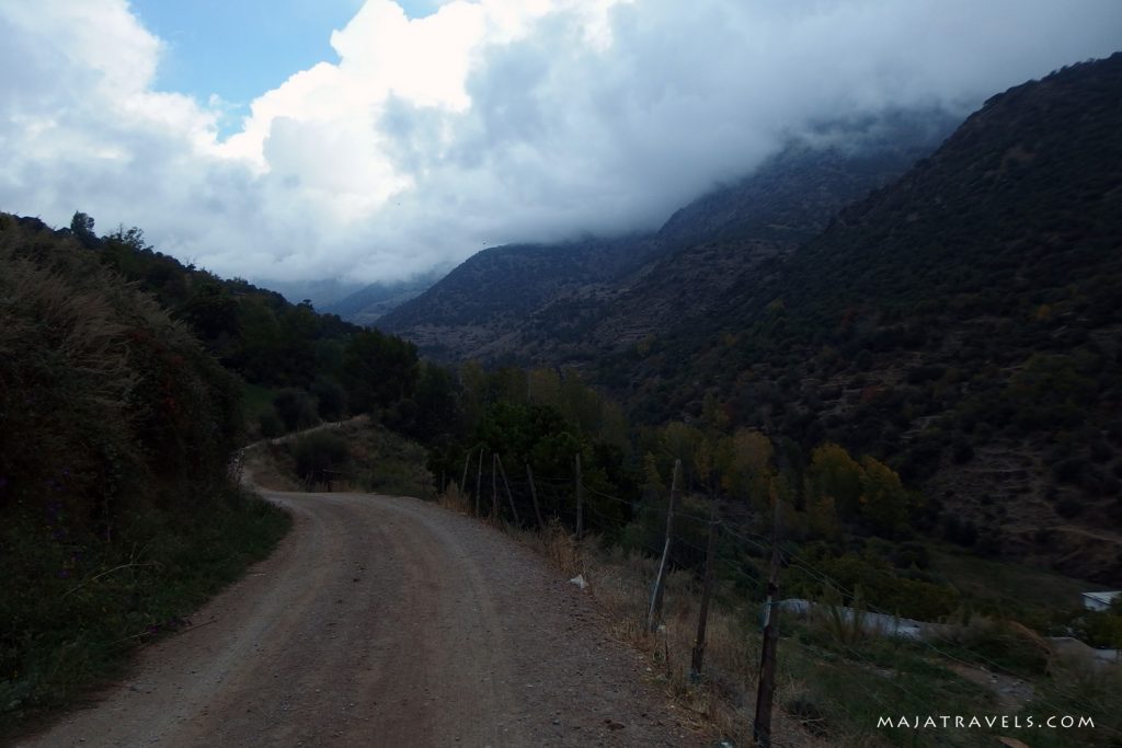
This hiking route is easy and short. It took me about 5 hours without a rush. On the beginning the trail leads along a river. I don’t remember if it’s marked or you have to just find a path. Not all hiking trails in Sierra Nevada are marked.
After about 1,5 km of walk you will cross the river and on the crossing you will see a signpost. It shows both ways to Peñabón and both ways it’s about 1 h 45 min so it doesn’t matter which one you choose.
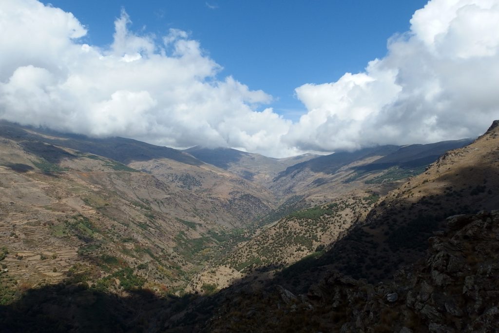
From the summit there’s nice view on surrounding mountains and you can also see Trevélez from this point. I had a chance to be there with great cumulus clouds which made landscape even more beautiful.
How to get to Trevélez?
If you don’t have a car, it’s easiest to get there by bus from Granada. I came to Spain by plane which landed in Malaga. I was searching in internet for a direct connection to Trevélez or some town between Motril and Granada where I could change and I didn’t find such a connection. I had to go to Granada and in this city change to Trevélez which made travel pretty long.
There aren’t many connections from Granada to Trevélez, only 3 a day, and travel time is about 3 hours. You can find connections at www.alsa.es.






![]()





caballerodsg
I´m sorry to tell you but trevelez is the eight highest village (municipality) in Spain, in fact the highest villages are situated in Teruel, and the highest, Valdelinares (with it´s town hall at 1695 meters high, 200 meters above Trevelez town hall) is the highest municipality (city with town hall) in Spain.
maja
Thank you for info. I read on a few websites that Trevelez is the highest but I didn’t check it :)
Klemen
It is not even the eighth …
http://www.emiliopolis.net/es/int/geo/altos_es.html