For a long time I could not convince myself to go to Breithorn (4164 m). I haven’t been on any four-thousander before – except for Toubkal, where I didn’t reach the summit ;) so it would be a pleasure to reach some, but hiking the ski runs didn’t seem interesting to me. I don’t regret, however. I gained new experiences, and the views, despite these ski runs, were pleasing to the eye.
The first night we spent on the Furka Pass. It is the highest pass in Switzerland, which you can drive by a car and its highest point is at an altitude of 2436 m. We decided to stay there in part because it is difficult to get to Zermatt from Poland in one day and partly to acclimatize.
I’m not sure if wild camping in Switzerland is allowed. I’ve heard that it is punishable by several thousand francs, but reportedly it is a dead letter. Anyway, it is clearly acceptable on the Furka Pass. By the hotel where we have stopped there were also a dozen other cars and the most of people were sleeping in cars but a few of them in tents.
We got up just after sunrise and set off, stopping for a moment to see the beautiful views from the pass.
After reaching our accommodation base – the Attermenzen campsite a few kilometers before Zermatt, we went on a short trip that day and set off to Breithorn the next day.
You can get to the top in several ways – take the cable railway to Klein Matterhorn at an altitude of 3820 m, get by cable car only to 1850 m or 2900 m, or go on foot from Zermatt, that is from a height of approx. 1650 m. We have chosen the last option.
The initial plan assumed accommodation at the Rifugio Guide del Cervino. It is an Italian hut, located on the border with Switzerland, on the Testa Grigia pass (3480 m). After information that the accommodation costs 40 euros, friends however began to wonder if it is better to take tents. I don’t like hiking with a heavy backpack and wild camping, but when I heard that for these 40 euro there isn’t even access to the shower, I took to the tent ;) Along the way there is also the Swiss hut Gandegghütte at an altitude of 3000 m, but there the accommodation (with half board) costs 84 francs.
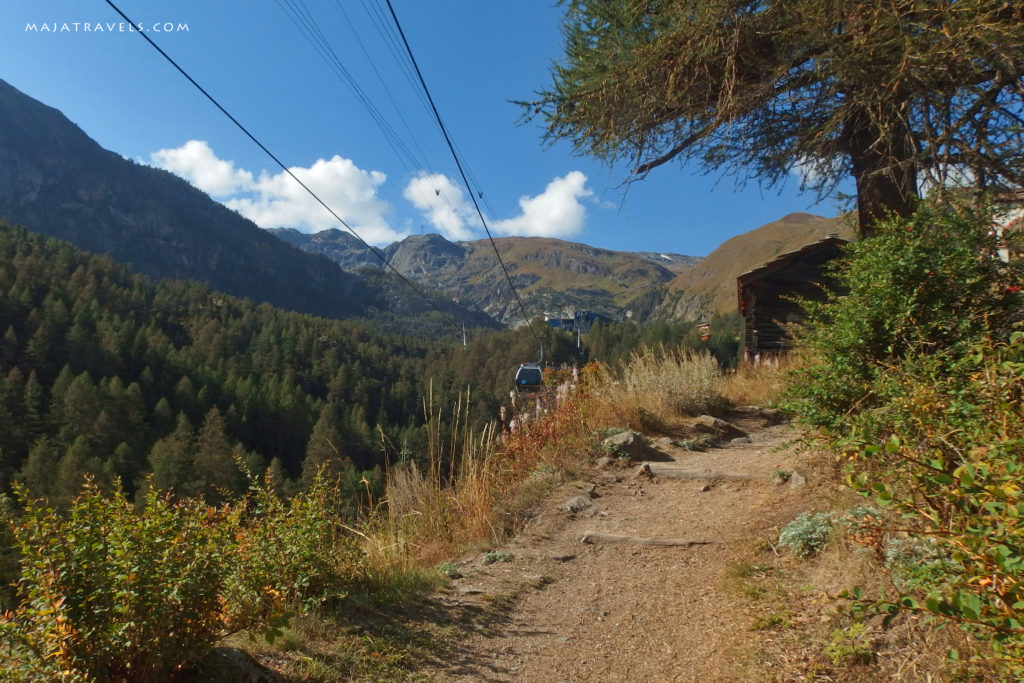
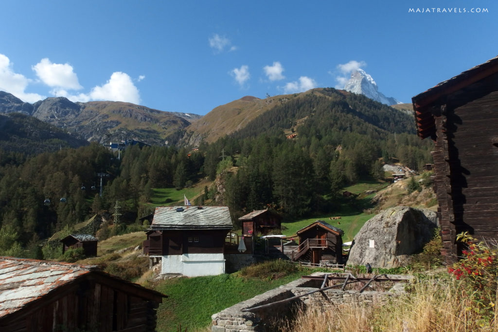
From Zermatt, first go to the top station of the Furi railway. The trail leads along a nice path along the lift and between huts.
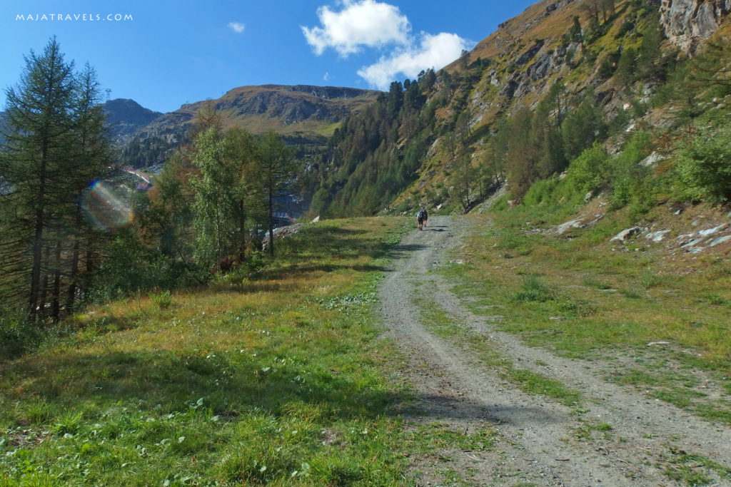
Behind Furi, the trail runs along a ski run up to a height of approx. 2400 m.
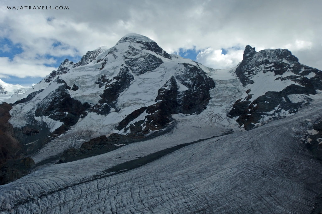
Only above this altitude begins an ordinary mountain path with beautiful views of the surrounding peaks, including our Breithorn and the amazing characteristic Matterhorn.
On the way we stopped at Gandegghütte, where, not knowing exactly what we have ordered, it turned out that we’ve ordered regular cheese sandwiches for 18 francs, and then after watching the Breithorn, we went to the Testa Grigia pass.
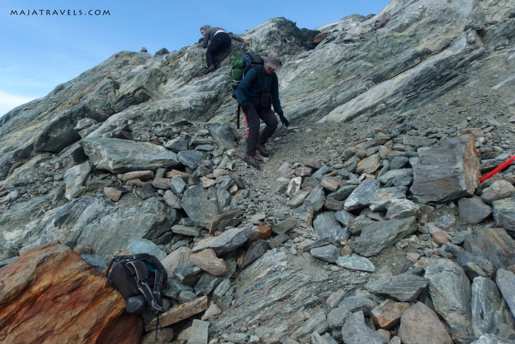
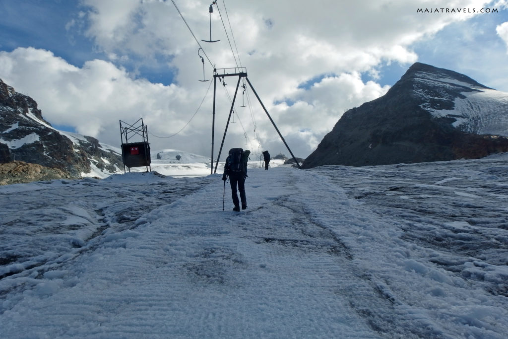
Behind the hut, the trail leads short fragment along rocks and then descends to the glacier and goes along the T-bar lift. However, it’s probably better to go along the ski lift right away behind the hut. This way we were returning and the path was in water and mud, but we avoided an unpleasant fragment of loose stones.
Not being sure if you can camp in Switzerland, we pitched tents in Italy – 20 meters from the border ;)
In the evening we had the pleasure of watching the beautiful sunset, after which we had not so pleasant night.
I had only a summer sleeping bag, in which I was freezing even at the campsite, but I hoped that when I put on everything I have, cover with NRC foil and use the chemical heaters from a friend, it will be warm. It wasn’t… I curled up, hid into my sleeping bag and I still were waking up every moment and I couldn’t wait for the night to end. Usually when it’s cold outside, you don’t want to get out of your sleeping bag. I, when the alarm clock rang at 6 am, got out with great eagerness, stood next to the tent and, still covered with the sleeping bag, I began to jump and walk in a place to warm up a bit before the sun rose up. At the same time, I was observing light spots on Matterhorn. The mountain was attacked from both sides…
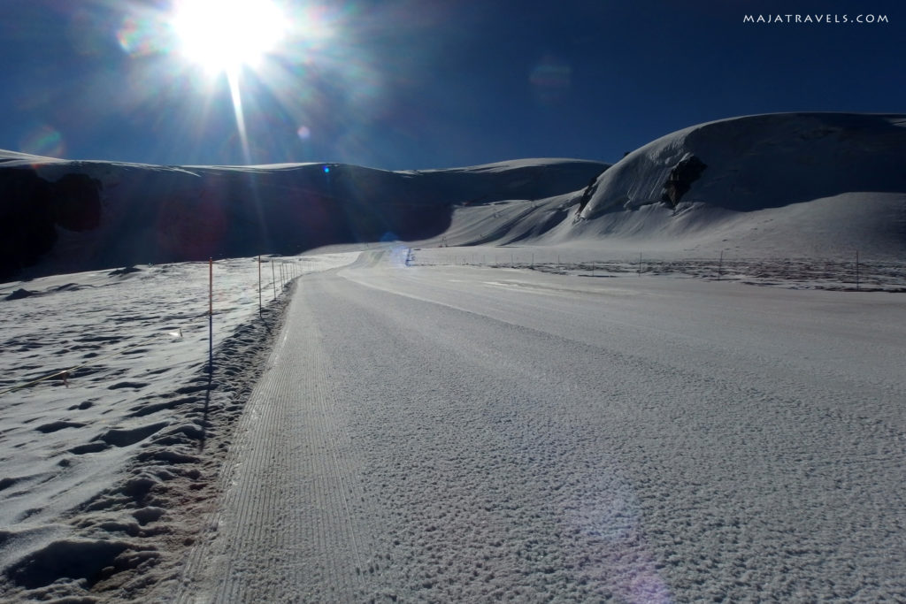
We packed our tents and sleeping bags, hid them under the rocks and after breakfast in the hut we set off for Breithorn. Initially, the trail leads along a year-round ski run.
The ski run leads to Klein Matterhorn. There we leave the lifts behind us and we go the well-trodden path on the glacier.
I knew from my experience that I react exceptionally badly to altitude, but this time I seemed to have enough acclimatization. The first night at Furka at 2400 m, the next day from the campsite we went to the same altitude, then a night at the camping at 1400 m and another at Testa Grigia at 3400 m. In the evening of the previous day, I had a little headache, but in the morning I was feeling well. But when I started to go uphill, it turned out that I was very weak… Even on this flat section of the glacier, I had to stop every about 100 meters. The attempt to go faster ended with nausea, so I prefered to go slowly.
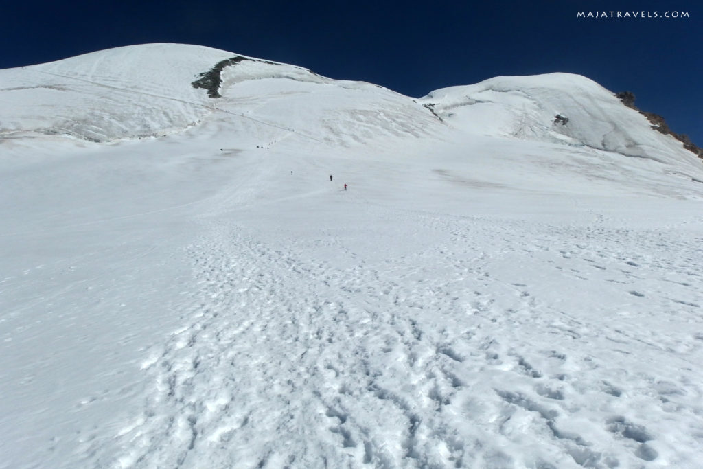
More steep, though still quite mild, starts from a height of approx. 3850 m.
There, at some point, I began to count my steps. “Ok, I’ll do 40 steps and break… Ok, maybe 10 more… and 10 more.” This way, sometimes I managed to get to 70, but at the end I was doing only 30 and I had to stop for a few breaths.
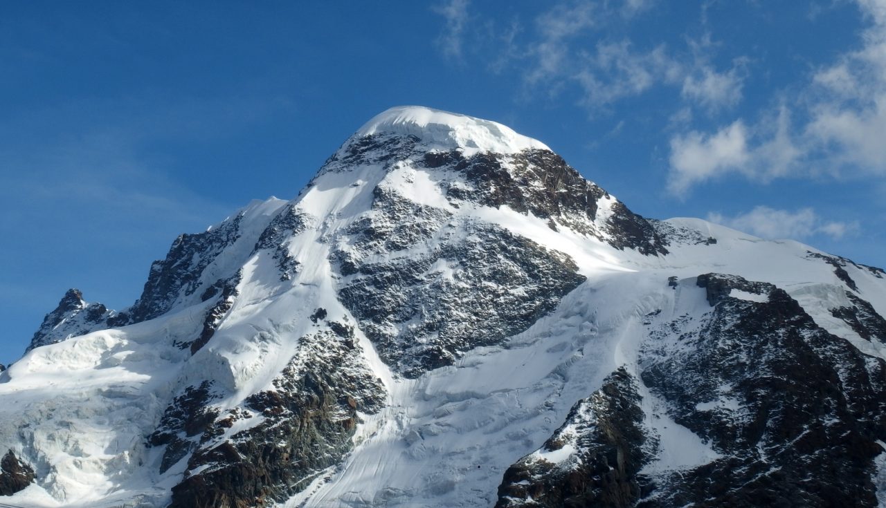
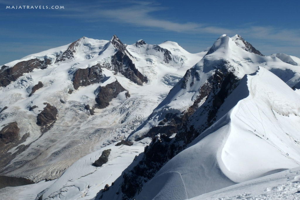
Finally, however, I reached the summit :) It was worth it, the views are great!
I spent only a few minutes on the summit, because my friends had been waiting there for me for 1,5 hour and it was time to go down to Zermatt. However, I managed to shoot a beautiful panorama :)
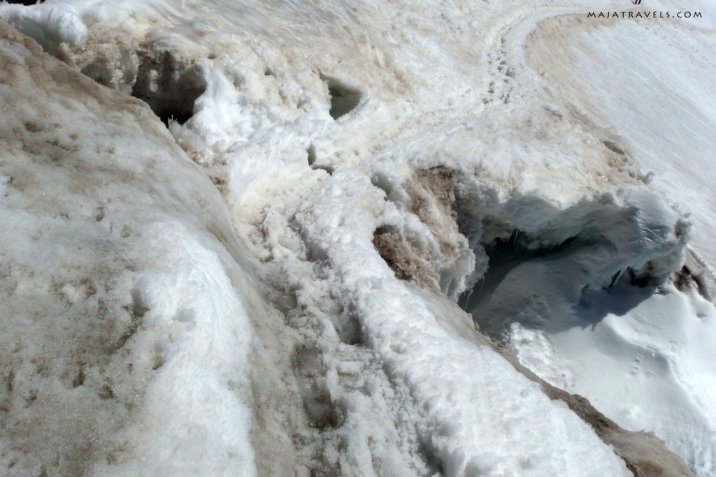
On the way back I was attracted by the amazing walls of the glacier next to the ski run. I passed them going up, but then I didn’t notice them at all.
We went to the hut for dinner, took our luggage from under the rocks and went down. We were finishing in the dark.
What equipment is necessary at Breithorn?
Breithorn is considered the easiest or certainly one of the easiest alpine four-thousanders. Indeed, the approach is easy and doesn’t require any climbing skills. However, you go on the glacier and here the question is whether to rope up? I don’t know how to answer it ;) Many people summit Breithorn without a rope, we also, but some use it. The summit is popular, the path was well-trodden and in good conditions it is impossible to get lost there. In some places, however, it was obvious that there were narrow crevasses under the snow, and one was quite large and it didn’t look very safe for me. Especially since it was warm, about 12 Celsius degrees, so everything was melting.
I haven’t been before on such terrain, so it’s difficult for me to assess how risky it was. And I didn’t feel well without this knowledge. When I take a risk, I like to do it consciously, so next time I’m going to the glacier, I will either go with someone experienced or I will do a glacier course.
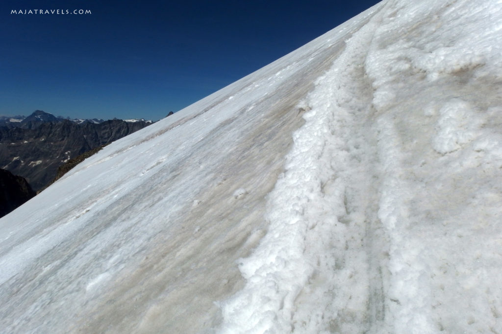
It’s definitely worth taking crampons, I was also glad that I took an ice axe. In part, the path leads along a fairly steep slope. In fact, it looked more steep than in the picture below.
It’s rather difficult to fall from such a path, but in case you fall – and it can happen because there were quite many people so sometimes you have to pass each other – without an ice axe you will probably slide down to base of the mountain and fall to visible there wide crevasse.
Have you ever been to Breithorn? How was it? :)
![]()














Piotr
Hi Maja,
can you tell please how long does it take to descend Breithorn ? Have you made whole desecnd route by foot ? Thanks in advance :)
Best,
Piotr
maja
Yes, whole descent by foot. I don’t remember exactly how much time it took but in one day we ascended the peak from 3400 m and descended to the town.