
Krwawa Pętla (Bloody Loop), is a bicycle route that runs along the hiking trails around Warsaw. It is said that to mark it as done, you should ride it in 24 hours. Recently also I took up this challenge.
While reading about this route on the internet, I came across various information about its length, but it ranged between 230 and 250 km. I set my mind on 250 and I didn’t know if I would do it in 24 hours, because knowing the vicinity of Warsaw, I expected that there would be a lot of sand and roots, but I assumed that if not in 24, then in a maximum of 26 hours I should achieve the goal, because reportedly some people do it in less than 20 hours.
The route runs mainly along the red hiking trail, beside Kampinos National Park, where you should follow the green, yellow and blue trails. It is quite well marked on most of the route, but it’s good to have a map or GPX record. I followed the route marked in the mapy.cz mobile app.
You can start wherever it is convenient for you, because the route runs through a railway station on each side of Warsaw. I started in Chotomów near Legionowo and rode counter-clockwise. I didn’t want to ride through the Kampinos Forest at night and besides, there was supposed to be quite a strong wind from the north-west for two days, so I planned it so that when riding on the west side of Warsaw, where there are a lot of open spaces, I would have the strongest afternoon wind in my back. The plan didn’t work out well, because I left the forest later than expected and the wind was starting to weaken then, but let’s start from the beginning …
I started at 12:50.
At the beginning Chotomów Forest. Nice forest paths …
…but only after 2 km from the start, the first sand.
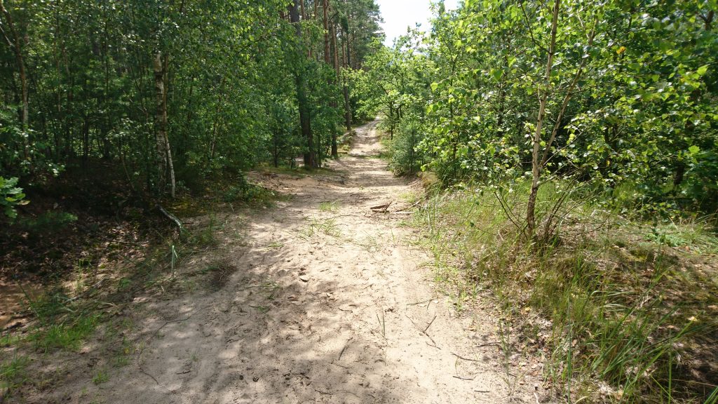
Next a bit of grass and roots …
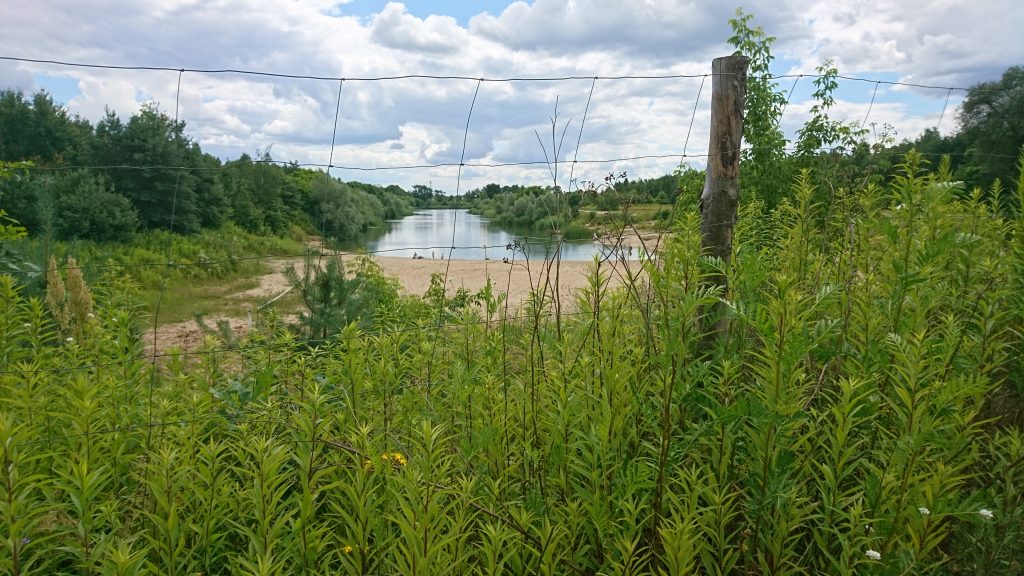
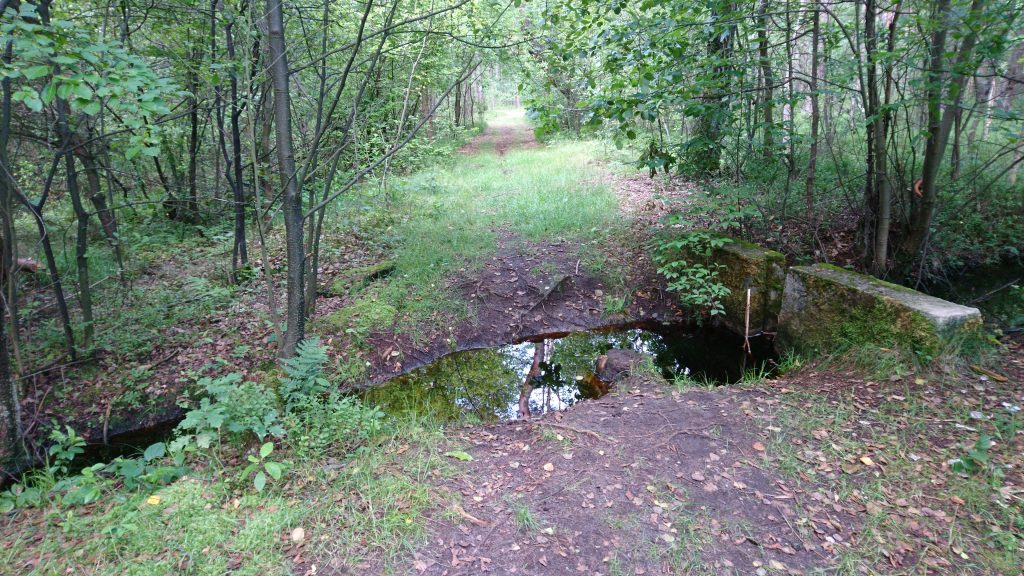
…and soon you will pass Trzciany Lake. You can find there a small beach and a bar with some hot-dogs if you need a break.
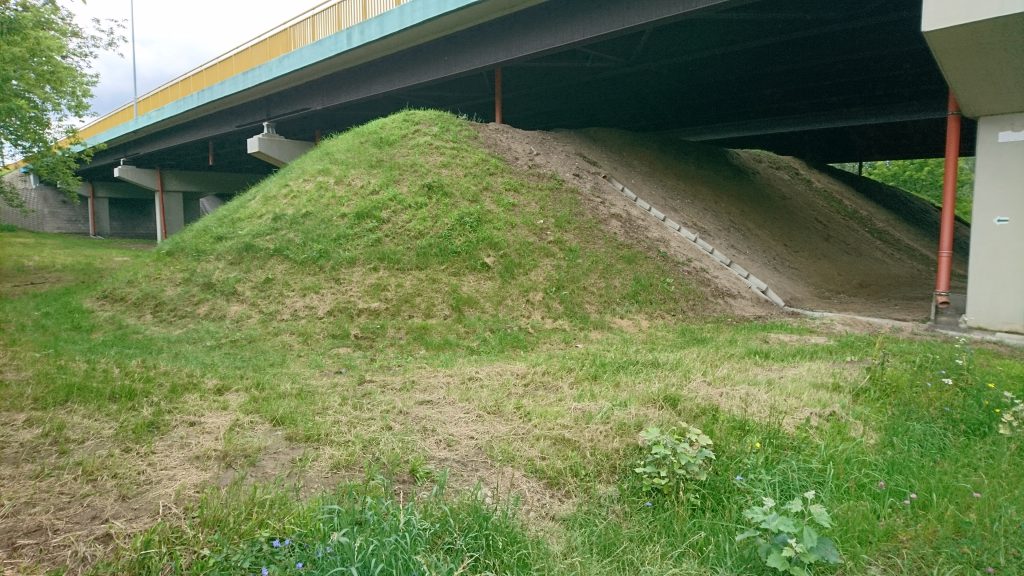
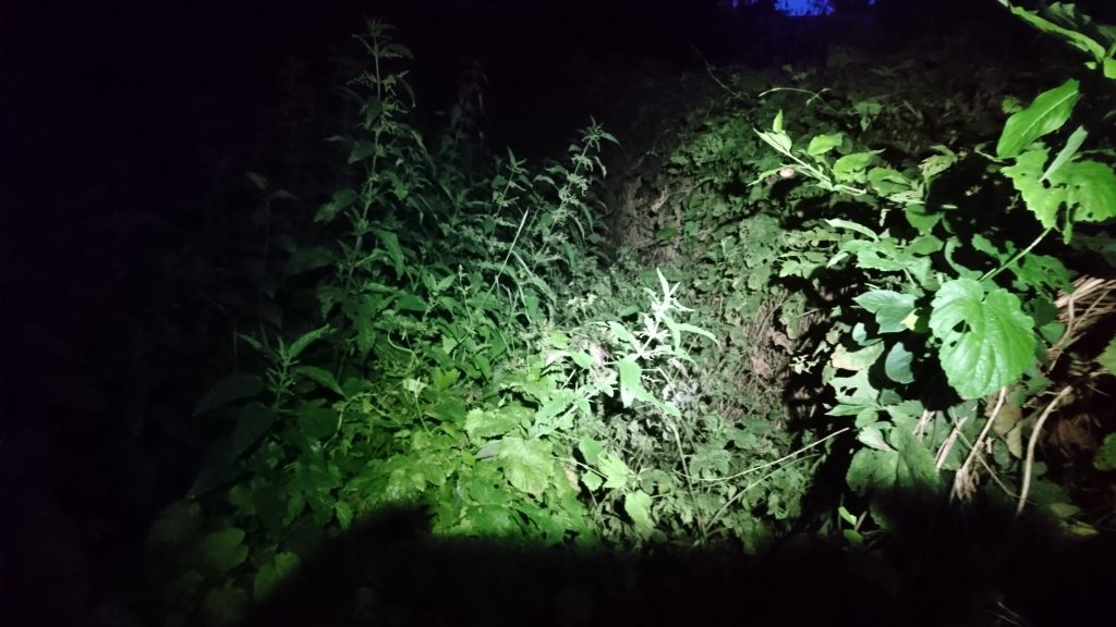
I rode further without stopping. After narrow paths, roots, grass and sand, you can rest a moment on comfortable gravel and asphalt, but only a moment, because after a few hundred meters you will have nettles.
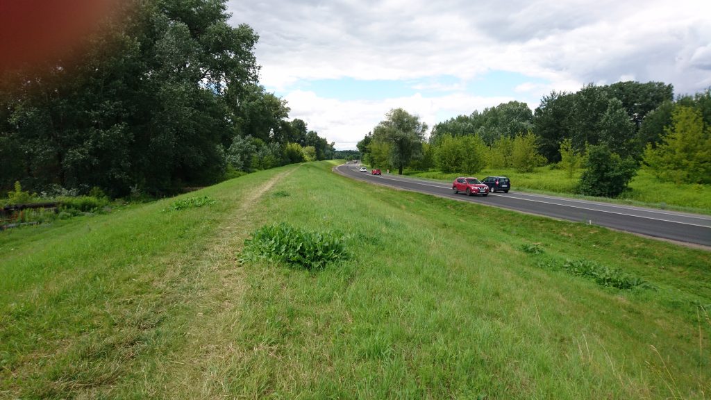
After going through it, a few hundred meters again, you will be able to rest as you ride the bicycle path along ul. Modlińska, and then the trail runs for 6 km along the embankment along the Vistula River.
Initially, you can ride along the gravel road along the embankment, but after about 1 km you have to go up on it.

After another 3 km, I hit the road, because in the app it is indicated that there would be a gas station in a moment, and I wanted to refill the water bottle before entering the Kampinos Forest. It turned out, however, that it was only vulcanization and autogas, without a shop.
So I returned to the embankment and soon reached the bridge leading to the other side of the Vistula.

On the other side, you start following the green trail. At some point you have to break through a piece of trail without a path…
…and you continue along the embankment, this time on the southern side of the Vistula. A wide dirt road leads for about 1 km, after which you have to enter the forest …

…and go further now not so pleasant path.

A moment later, in Nowe Grochale, a grocery store, some asphalt, and 30 km from the start, I was welcomed by the Kampinos National Park.

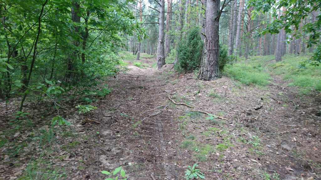
A wide gravel road leads maybe 200 m, after which you have to turn into the forest and continue along a narrower, but also very pleasant road.

After about 4 km, leave the green trail and head south along the yellow trail.

The ride is still very nice, without excessive sand, roots or mud, and after another 4 km you will have quite an interesting and difficult part. A bit uphill and then downhill over the roots. A bit shaky ;)
Then a few hundred meters of pedaling, another downhill, this time gentler and after a while you will reach the parking lot.
After the parking lot, the trail turns right, you will ride about 1 km on the asphalt, passing the grocery store, and then left onto a gravel rocky road.
The road will lead you to the bridge over the Łasica canal.
Then follow a narrow path through the “Żurawiowe” strict protection area.
Passing sandy fragments, you go further south along narrow paths.
At the 50th kilometer, the Julinek Amusement Park and in it, apart from attractions for children, the possibility of having a decent home dinner (although the portion could be larger).

If a grocery store is enough for you, it is 5 km further in Leszno (just after leaving the forest, you have to turn left into the bike trail, instead of going straight by hiking trail).
Leszno, however, is not the end of the Kampinos Forest. You have to return to the forest and follow the blue trail to Zaborów.
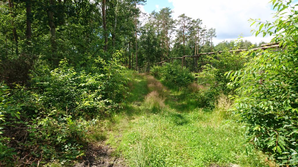
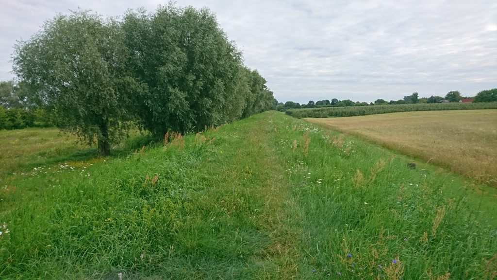
After approx. 4 km, you will leave the forest and follow a pleasant road along the meadow.
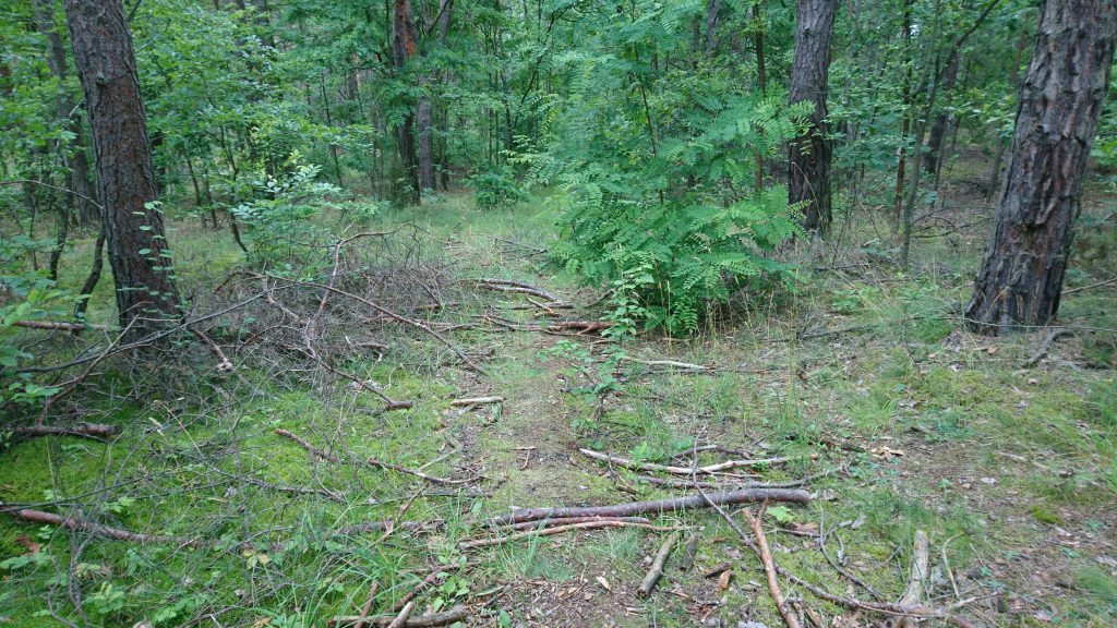
Not long, however, because soon the trail turns right. But probably not the small path as in the photo, but a bit further, because this one leads through the brushwood.

Behind the forest, the trail leads about 1 km along a rather busy road to Zaborów.

Then right to the south and finally I could enjoy the wind on my back. Not long, because it was after 7 p.m., so the wind started to weaken, but it was still very pleasant to ride. The next 25 km, up to Podkowa Leśna, is the easiest part of the Bloody Loop. It leads along asphalt and good gravel and field paths.

In addition, running hares and beautiful evening light :)

In the village of Czubin, the trail runs straight, but the road was closed with the information that the bridge is closed. I decided not to check whether it is passable by bike and I took a detour, or rather a shortcut, through Biskupice.
Behind Podkowa Leśna, after about 90 km, it started to get dark and cold. I had something to wear for the upper part of the body, but I didn’t think to take something on my legs and in the knee-length pants it started to be really cold at some point. It’s good that I had a first aid kit with two bandages in it, which worked great as legs.
The next 10 km are the Młochowski Forest and the Komorowski Forest with a small bridge and a fragment of a wetland.

Then, at 10:30 pm, another dinner, this time at McDonald’s.
1 km further, the trail leads into a narrow path to the forest. I waited by the road until the rustles of an animal had died down, put on headphones and turned on the music so that I would not be stressed by suspicious noises, and rode into a dark forest. But I didn’t get far.
I broke through those branches, but there were more branches right behind them. So I decided not to wade through the middle of an animal’s apartment at night, turned around and rode into the forest 0.5 km away.
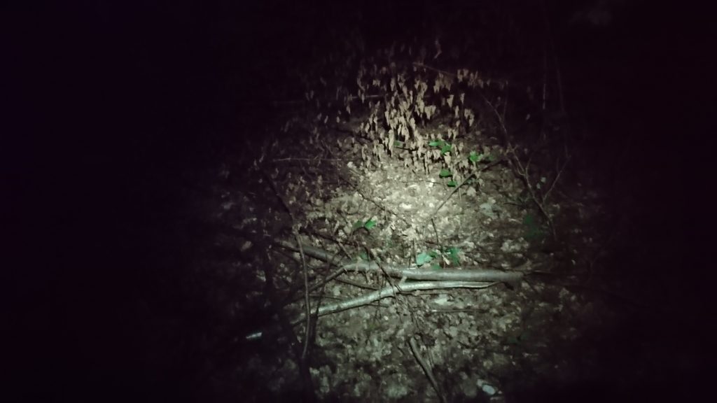
Now I had 5 hours of night riding on the roots and mud with short sections of asphalt. I thought I had a good headlamp, but in the forest I wish I had a better one, because I often noticed puddles at the last minute. I have been riding SPDs for 2 years, but I only wear them for longer trips and I have a few falls on my account, because I didn’t have time to detach myself after a sudden stop in sand or mud. I was wondering when I would end up in a puddle this time and the fact that it ultimately didn’t happen is a miracle! Only my bottom hurt after that night ride, because I often didn’t notice the roots and holes at all …
In the vicinity of Mrokowo, I had to modify the route a bit, because the trail ends at the construction site of the S7 road. I found the detour through Szczaki.
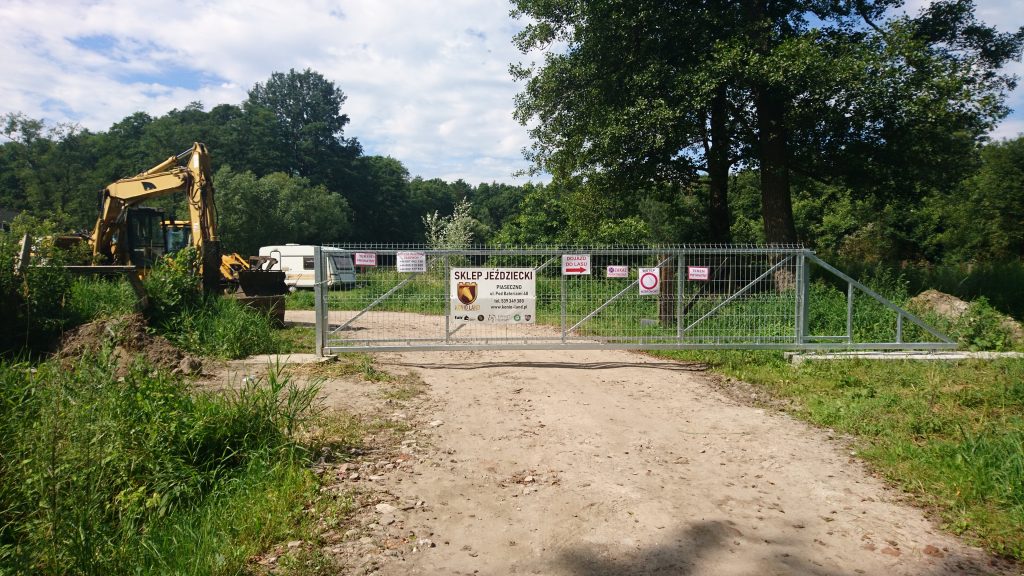
10 km further, another obstacle. I left the forest certain that I would soon reach the asphalt in Łbiska and I saw some strange place. The building resembling a cowshed, horse trailers, cars, tractors … “What is it, I’m in some horse farm?”. In a moment I reached the locked gate and realized that I was on private property. So I quickly turned back before some dog eats me and I rode around the place through Pęchery.
One week later I was in the area during the day so I came on the other side to see what it is there. It turned out that it was a horse riding shop and that I could easily ride by the gate ;)
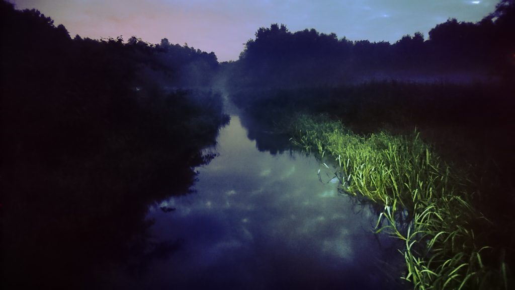
A few kilometers away, after Zalesie Górne, it was getting bright. It was 3:30 a.m., in the forest the lamp was still needed, but in the open space it was becoming more and more visible. I was crossing a small bridge, and a nice mist was rising over the meadow.
Immediately after the bridge, the trail leads to the right, but it is impassable and looks like private property.
You have to go left, bypass the houses and then right, onto the wider road.
Further through the forest, along the roots and cones …

…and a bit before Góra Kalwaria, around 4:30, I exceeded 150 km.
Behind the tracks, a small detour is again necessary, because the trail leads through the bypass of Góra Kalwaria. I rode a few hundred meters to the gas station by the way.
In Góra Kalwaria, there is an approx. 300-meter long descent, which would be fun if it were not for the cobblestones.

Then you have to cross the busy road to the other side of the Vistula and enter the embankment along the river.

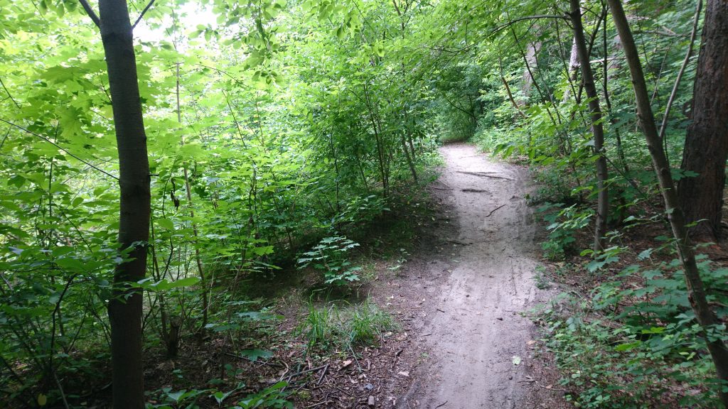
Unfortunately, the wide path visible in the photo is only a few hundred meters long. Then it gets narrower, then even narrower, and then you just ride on the grass.
I had there 165 km behind me and looking at where I was, it seemed to me that it could go a little more than 250 km. However, I stuck to this number, not wanting to think that the route could be longer.
A few more km of the embankment, then some asphalt and more mud …

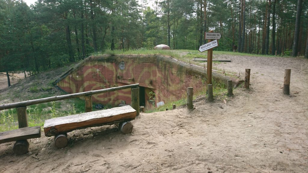
…and then bunkers and sands …
…fallen trees,

a brooklet,
roots,
branches…
uff… a bit of rest.

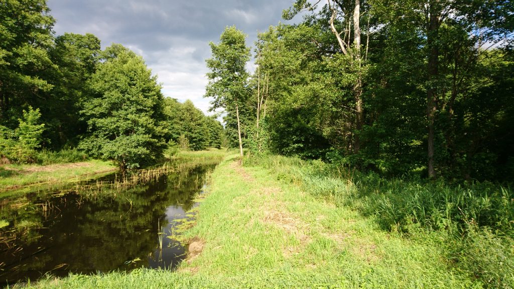
A very nice fragment begins behind Mlądz, where the trail runs along the Mienia river, tributary of the Świder. A few kilometers of narrow, technical path along the river, on smooth, compacted surface. Roots appear in places, but it’s not like in the previous kilometers, where they were non-stop.


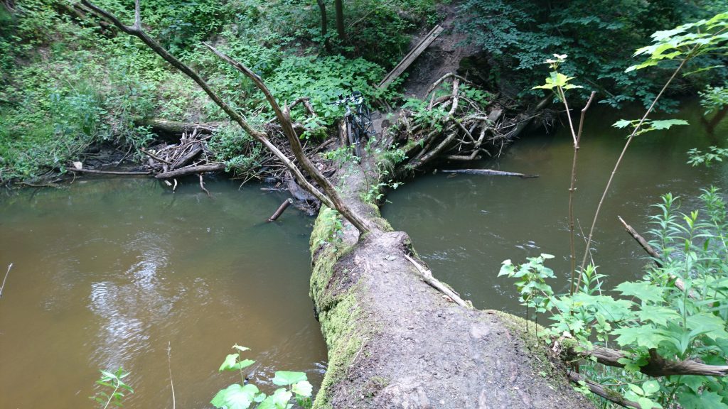
The only problem I had was getting to the other side of the expressway after completing this section. Apparently only 200 meters away is the drive, but I couldn’t find any path to get there. Bushes or fences everywhere. The only exit I saw was the fallen tree path and reach the second passage.
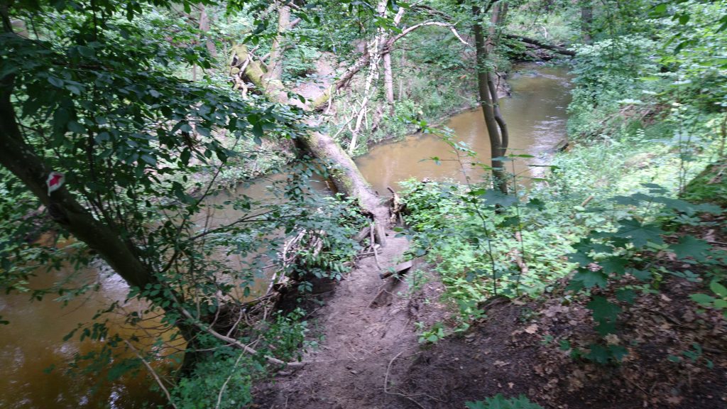
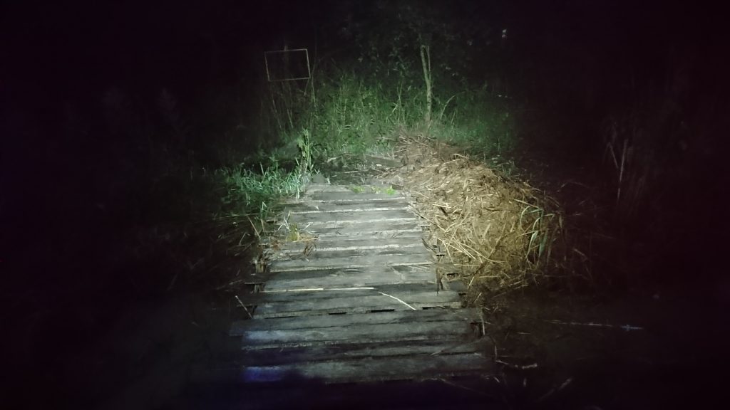
I went alone with a bag in my hand without any problems, but there was still a bicycle. I reminded the floating platforms in the Narew National Park and I don’t know where it was worse, but I succeeded again :)
On the other side of the river, I easily crossed the expressway and reached Wiązowna. There a third lunch, this time at the Mazowsze Restaurant.
Right after I exceeded 200 km.
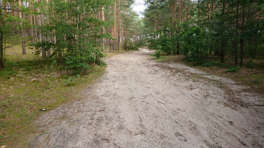
I don’t have many photos from the rest of the route, because I didn’t feel like taking them anymore, I just thought about getting to the finish line. But generally forest, roots, cones, sand, some asphalt from time to time.
You need to make a detour in Zagórze because the trail goes through the road construction and another one in Stara Miłosna. But there, the markings in the field have already been adapted to the new road and lead accordingly. At this point, I had already 220 km behind me and I knew that it would definitely come out more than I expected, but still I was aiming for 250, because “only 30 more” sounds better than “50 more”.
And soon more problems arose due to the fact that the trail was cut by expressways and highways. The vicinity of Horowe Bagno beyond Zielonka. I tried to follow the trail as much as possible, struggled through tall grass, illegally through construction side of the road, but at some point I gave up and rode around. Because according to the mapy.cz application, there is a trail ahead here ;)

I exceeded 250 km 3 km before Wólka Radzymińska.
Just on a beautiful gravel road, right after leaving the narrow path in the forest. But I was too happy too quickly, hoping that I would go on such a road to Wólka. Maybe 300 meters passed and then I saw such a view.

And it’s not the first such in the last kilometers … There were already a few fallen trees and then a few more. And with every mosquito masses!
But I talked to myself that it was not far away, that “only 10 km more” (although deep down I knew it would be more).
I exceeded 260 in the forest behind Nieporęt.

And finally 275 km. At 7:20 p.m., after 30.5 hours, I reached the railway station in Chotomów.
I think that those who do this route in a dozen or so hours are probably some cyborgs. I am satisfied with my 30.5 because it is still one of my most difficult, if not the most difficult trip :)
![]()
 Thank you :)


Leave a Reply